
Susan Napier, Blue Badge Guide, takes us on a scenic walk through the Pentland Hills just outside Edinburgh
I have so many happy memories of the Pentlands as a child as my Dad would take me on short walks to Swanston, Bonaly, Flotterstone and Silverburn, and my first proper hill climb was Carnethy Hill. He told me tales of the Covenanters, the Romans and the Drovers and I loved it all. Later in my teens I remember skiing, ponytrekking, midnight hikes and wild camping under the stars in the Pentlands.
When I go back to the Pentlands now nothing much has really changed. The walks are still there, the splendid views and the wonderful landscape draws me back. Now my daughter and son have joined me on walks and every time we see something different – a fantastic variety of plants and wildlife.
The Pentland geology is fascinating; the hills have been created by a combination of volcanoes, seas, and glacial activity over some 500million years.
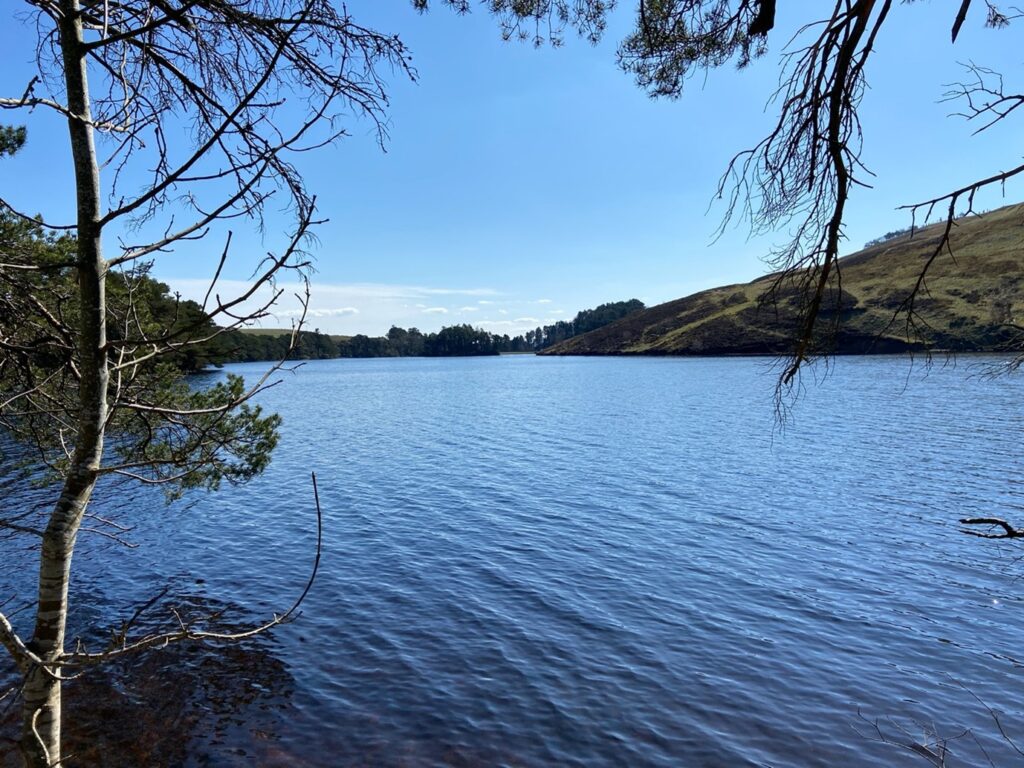
One of our favourite walks is the four reservoirs. These were built in the 19th century to provide a water supply for Edinburgh and for its many mills, and are now a fantastic resource for leisure activities and wildlife havens.
On a crisp Spring day we started at the car park at Harlaw – best to get there early to get a space – and then headed along to Harlaw Reservoir. Walking across the spillway round the path to the west, we saw many hopeful anglers on the banks.
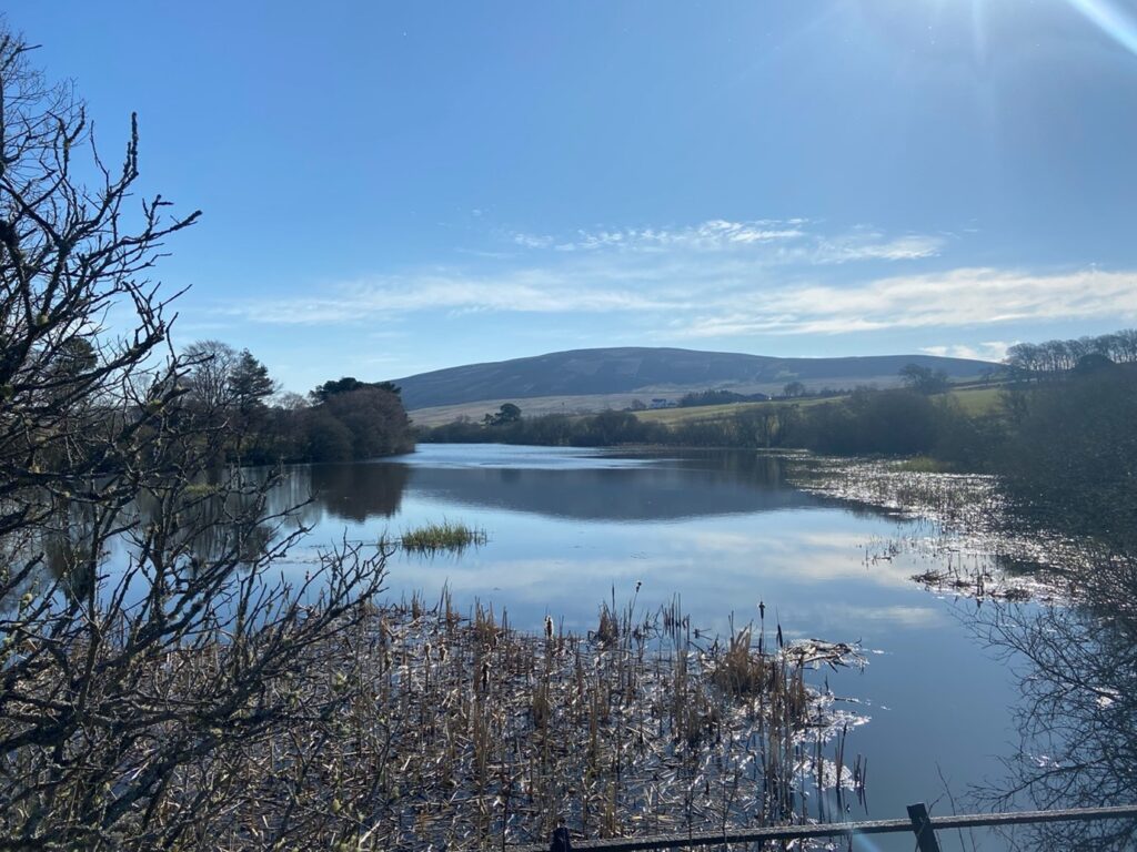
The path took us to the dam at Threipmuir, a much bigger reservoir stretching out its long fingers below Black Hill (501m) and Hare Hill (449m). Red Moss Nature Reserve at the west end of Threipmuir was worth a detour, and then we headed south over the Redford Bridge. The view to Black Hill from the bridge was stunning and there were just a few swans to keep us company.
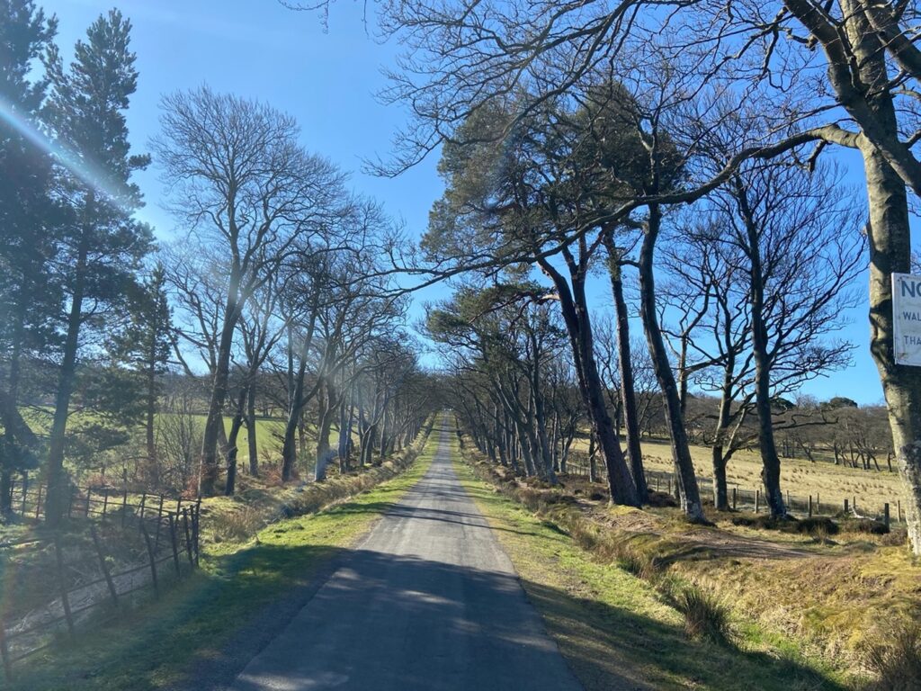
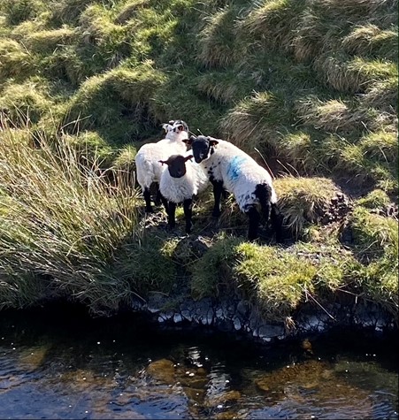
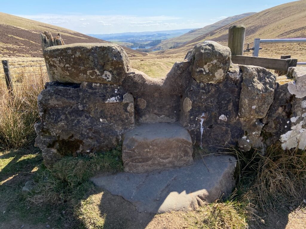
After climbing up the steep avenue lined by beech trees to Bavelaw Castle, we walked out into the hills themselves. We stopped for a bite to eat sitting on an old stone and watched the seagulls chasing a lapwing who was drawing them away from its nest on the ground. The sheep grazed contentedly, pausing only slightly to look at us, while their lambs explored the rough pasture.
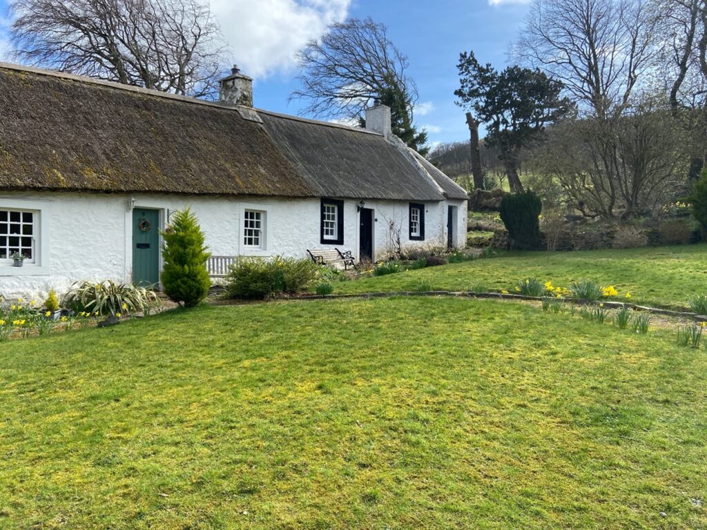
Then we walked down the Green Cleugh – a steep sided valley formed by the meltwaters of glaciers 20,000 years ago – with waterfalls, burns and stepping stones taking us down to the Howe, a lonely cottage sitting at the head of our third reservoir – Loganlea. This is squeezed in between the back of Black Hill and Carnethy Hill and it felt like we might be in the Scottish Highlands rather than just half an hour from Edinburgh. Also popular with anglers, but there were plenty of nice picnic spots to choose from for our lunch break.
The Logan Burn pulled us gently down to our last reservoir, Glencorse, surrounded by the Pentland Hills rising up on all sides. An L shaped reservoir with a meeting of paths at the bend at Kirk Bridge gave us a choice. We could walk down to Flotterstone with its great café selling great cakes and then catch a bus back into Edinburgh, but as we had left the car at Harlaw we hiked back up the steep hill through the Maiden’s Cleugh.
This was the route of an old drove road followed by cattle drovers and armies. At the top we were rewarded with a fantastic view from the top of the pass between Harbour and Bell’s Hills looking south to Flotterstone and the Scottish Borders before we walked back through the fields to Harlaw Car Park.
More information on walks can be found here:
or
Rab Anderson The Pentland Hills 60 Walks Mica Publishing 2011 Edinburgh
For more on touring with Susan, please click here to see her profile on the Scottish Tourist Guides Association website.
Leave a Reply